Stay informed. For the latest information from HHO, please visit www.hho.co.za/news/#Newsletters

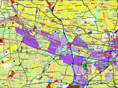
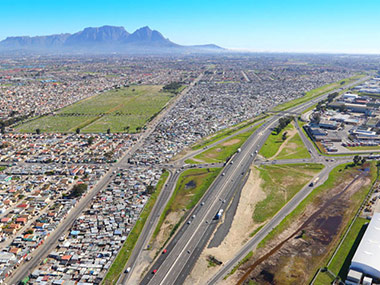
Transportation Network Modelling

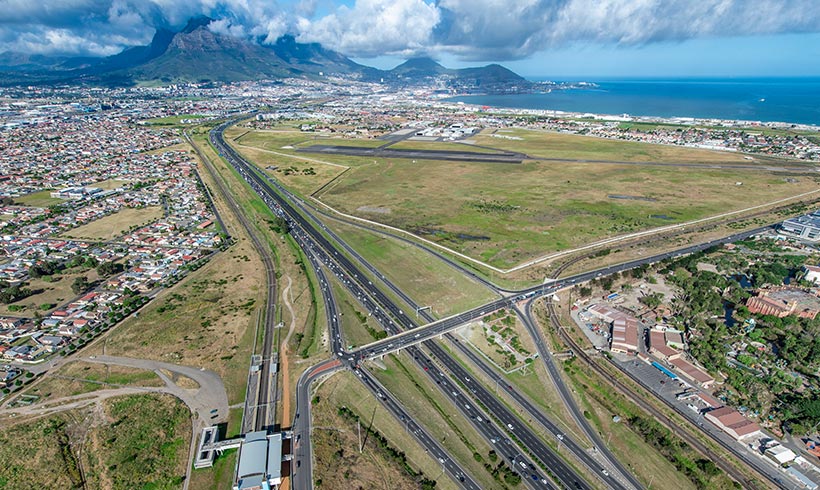
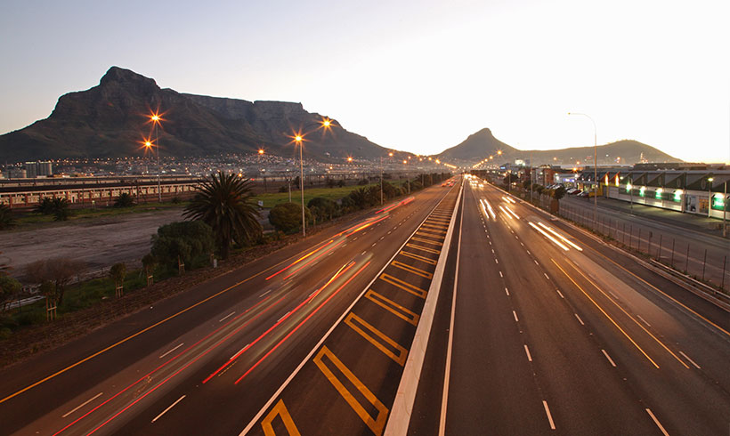
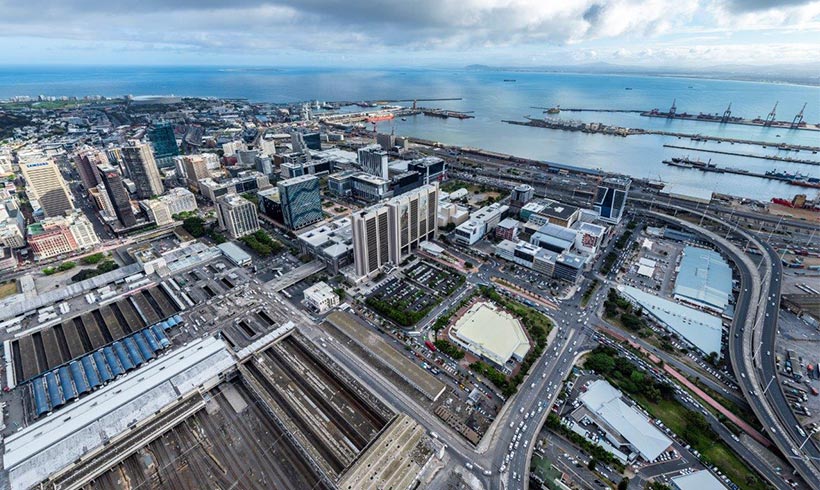
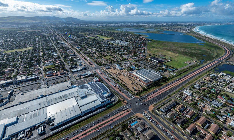
In order to assess the impact of land use developments and/or transport network improvements on an existing transport network, accurate transportation network modelling is required.

Our clients need to have access to the best software available, to analyse and visualise the transport impacts of their proposed interventions.

  • PTV Visum - the strategic modelling of transport networks
  • PTV Vissim - the micro simulation of transport networks / interchanges
  • Predict future demand on links and at intersections
  • Test road closures or new links
  • Measure public transport performance
  • Determine travel times and speeds
  • Predict network benefits

The PTV Suite has been successfully used in a range of various projects such as Century City, Sandton Rea Vaya and the MyCiTi BRT System.

Rea Vaya Bus Rapid Transit Station, Sandton, South Africa

HHO undertook the conceptual design of this 16 platform terminal station, and used a VISUM model of the Sandton CBD to assess the traffic redistribution and impacts caused by the introduction of the station and dedicated bus lanes leading to it.

Mining Belt West Transport Masterplan, Johannesburg, South Africa

For this historic mining sub-region; HHO developed an expansive strategic model in order to define a transport masterplan defining the road hierarchy, link demands, public transport spines, NMT routes and ultimately defined future road reserves.

N2/Borcherds Quarry Interchange Upgrade, Cape Town, South Africa

HHO built a VISUM model of the study area surrounding this urban interchange to assess the relative traffic performance of alternative interchange configuration proposals and to assess the system travel times for input into a transport economic evaluation.